


Places > United States > Utah > City/Town > 
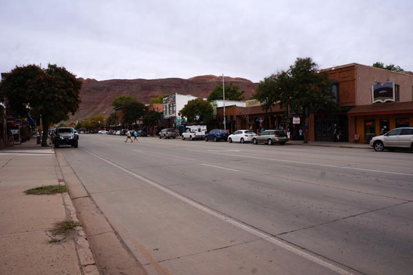
Moab
Getting There
Getting Around
Climate & Weather
Moab CLIMATE CHART
Average temp. (High/Low in Fahrenheit) on top, average precip. (inches) on bottom.
Source: National Weather Service data for years 1981-2010.
Average temp. (High/Low in Fahrenheit) on top, average precip. (inches) on bottom.
Source: National Weather Service data for years 1981-2010.
Places of Interest
- Brewpub
- Campground
- Coffee Shop
- Hotel
- National Park
- Natural Feature
- Park
- Recreational Facility - Misc
- Rentals - Vehicles
- Resort - Misc
- Restaurant
- Love Muffin Cafe
- Miguel’s Baja Grill
- Milt's Stop and Eat
- Moab Grill
- Paradox Pizza
- Peace Tree Juice Cafe
- Red Cliffs Lodge Restaurant
- Red Rock Bakery & Cafe
- Sabaku Sushi
- Singha Restaurant
- The Blu Pig
- Zax Restaurant
- Store - Bike
